All Information of the Metro de Madrid in the Palm of Your Hand.
All the information of the Metro de Madrid in the palm of the hand:
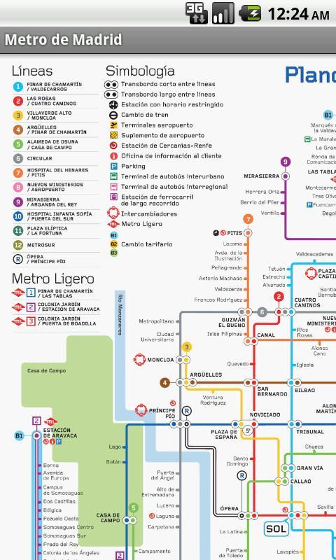
Updated Metro de Madrid plans:
- Official schematic plan.
- Old schematic plane.
- Cartographic plane.
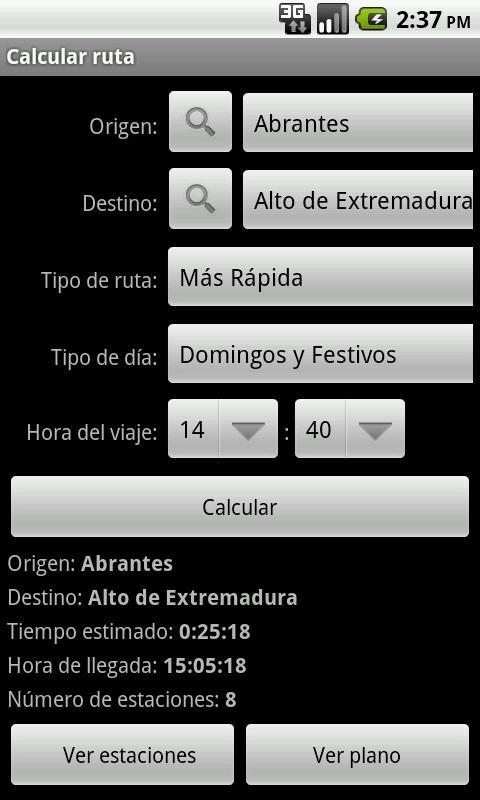
Route calculation (offline) between stations:
- Duration of the trip.
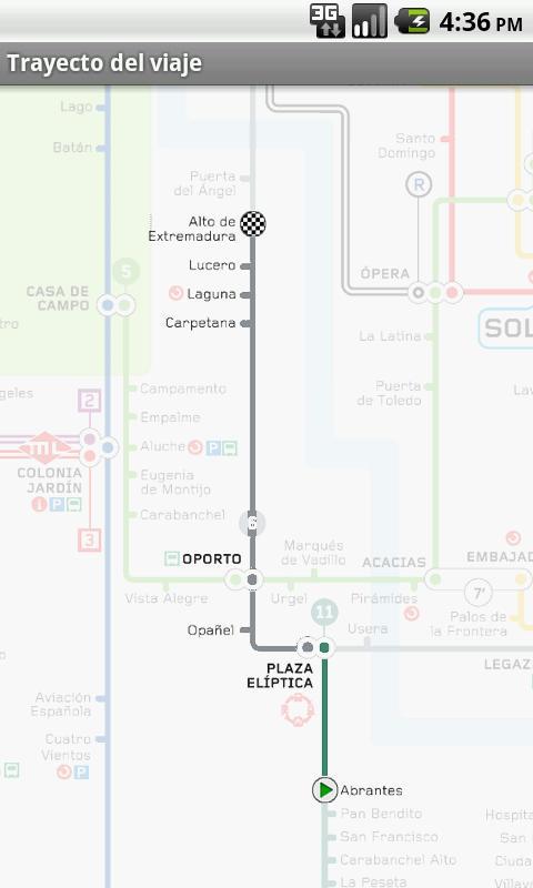
- Visualization of the route in the plane.
- Arrival time.
- Scheme of the route stations.
- Address at intersections.
- Favorite stations.
- Etc.
Interactive plane:
- Selection of the origin and destination stations keeping in the plane on the station or its name.
Stations close to its location:
- Location of nearby stations.
- Visualization of the journey to the stations (Google Maps).
- Navigation to the stations (Google Maps Navigation).
- Location of the stations in the plane.
- Stations filter by characteristics.
Stations Search:
- Line search.
- Search by name.
- Search for favorite stations.
Stations information:
- Stations services (elevators, phones, etc.).
- Access to stations (street, elevator, etc.).
- Stations connections (buses, trains, etc.).
- Etc.
Rate and schedules information:
- Types of tickets.
- Types of fertilizers.
- Interval between trains.
Possibility of installing the application on the SD card (app2SD).
Thanks to all users for their comments and suggestions.
Version 3.2:
-Solved error when drawing route or location in the plane.
